New Animated Map Provides a Fresh Perspective Of The Battle Of Bentonville
Jared Herr, jherr@battlefields.org
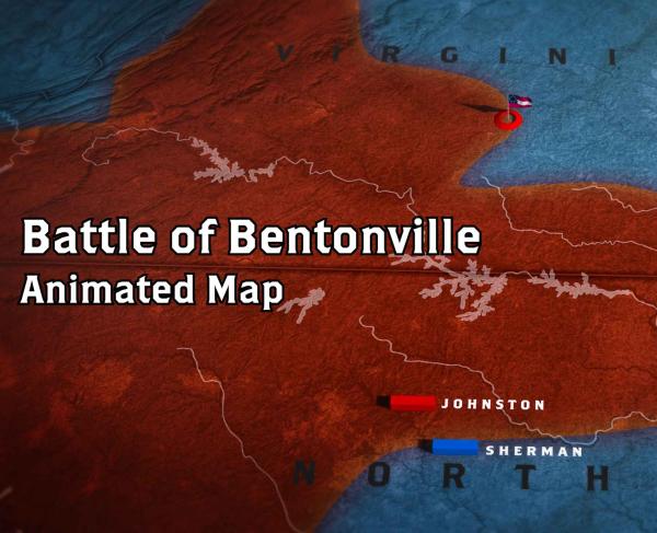
(Washington, D.C.) — The American Battlefield Trust’s newest animated map, The Battle of Bentonville, provides viewers with an immersive look at the final full-scale action of the Civil War. Produced by the award-winning Wide Awake Films, this equally engaging and educational production brings to life the three days Union and Confederate forces clashed 160 years ago in Johnston County, N.C. The seven-minute video skillfully blends motion graphics, engaging narration and battle reenactment footage, giving viewers a clear understanding of the largest battle fought on North Carolina soil.
“The Battle of Bentonville marked a monumental moment in the final weeks of the Civil War, and the hallowed ground we have preserved on that site is one of our great successes,” said Trust President David Duncan. “The 160th anniversary is the perfect moment to deliver a new avenue to further the public’s understanding of this crucial battle and the importance of saving the Bentonville Battlefield.”
The animated map debuts as the Trust is four separate tracts at Bentonville, two on the southwest area of the battlefield and two to the northeast, totaling nearly 200 acres. These pieces of land were central to the fighting in March of 1865 and are adjacent to other land saved by the Trust. With the generous support of donors and federal, state and local grants, the Trust is fighting to ensure these vital pieces of American history are not lost forever, but rather cherished by generations to come, alongside the more than 1,900 acres of hallowed ground already preserved by the Trust on the Bentonville Battlefield.
“The power of Bentonville is palpable to anyone who visits the battlefield,” said State Representative Larry Strickland. “This animated map will certainly inspire new and returning visitors to experience this hallowed ground for themselves.”
The Battle of Bentonville animated map is the latest addition to the Trust’s ever-growing arsenal of video productions, which have collectively garnered millions of views across the globe. The latest map compliments last year’s production North Carolina at War, which highlighted 100 years of military history in the Tar Heel State. These resources, from the Revolutionary War to the Civil War and beyond, continue to educate and engage viewers eager to explore America’s most significant conflicts.
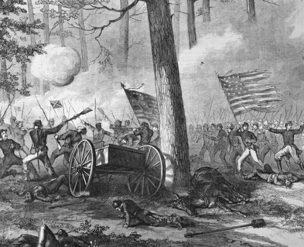
In early 1865, William T. Sherman’s army moved out of Georgia and into the Carolinas, with the goal of destroying railroads and supply lines before joining with Ulysses S. Grant's armies near Richmond. To oppose this action, Confederate President Jefferson Davis tasked Joseph E. Johnston with collecting what remained of the Confederate forces in the Western Theater, move them north to oppose Sherman and hopefully join with Robert E. Lee's Army of Northern Virginia. However, Johnston's army would never make it to Virginia, as they were forced to clash with Sherman at Bentonville from March 19-21, resulting in the last large-scale battle of the Civil War.
The American Battlefield Trust is dedicated to preserving America’s hallowed battlegrounds and educating the public about what happened there and why it matters today. The nonprofit, nonpartisan organization has protected more than 58,000 acres associated with the Revolutionary War, War of 1812 and Civil War, including nearly 2,000 acres of the Bentonville Battlefield. Learn more at battlefields.org.
###