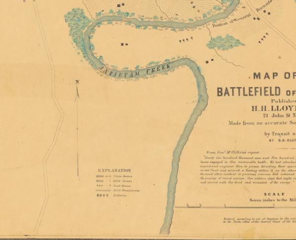
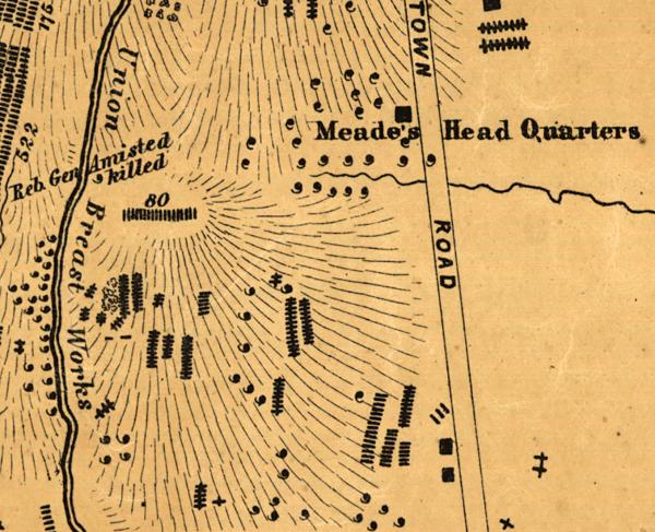
Map of the action at Drainsville, Va., December 20th 1861
Historical map of the Battle of Dranesville
Map of the action at Drainsville, Va., December 20th 1861 : U.S. forces commanded by Brig Gen. E.O.C. Ord.
drawn by H.H. Strickler, Co. A, 9th Pa. Reserve ; published by authority of the Hon. the Secretary of War, office of the Chief of Engineers, U.S. Army, 1875.
Created/Published
[S.l. : s.n.], 1875.
Notes
Description derived from published bibliography.
Shows troop positions and unit numbers, houses, roads, vegetation, and drainage.
This item is in the Map Collection of the Library of Virginia; please contact the Library's Archives Research Services department for more information.
Reference: LC Civil War Maps (2nd ed.), 534
Reference: Swem, E.G. Maps relating to Virginia, 1318
Civil War Map Proj. no.: LVA00046.
Conservation: Etherington Conservation Center, April 2002.
Map accession no. 897 (1913)
Previously filed as: 755.236 M6 1861-1865 1875.
Scale not given.
Medium
1 map : col., mounted on paper ; 40 x 26 cm. on sheet 45 x 30 cm.
Repository
Library of Virginia Richmond, VA 23219-8000 USA For copies contact: Archives Research Services.
Digital ID
Learn More: The Battle of Dranesville
Related Battles
71
230


