District of Columbia | Topographical Map
Washington, D.C.
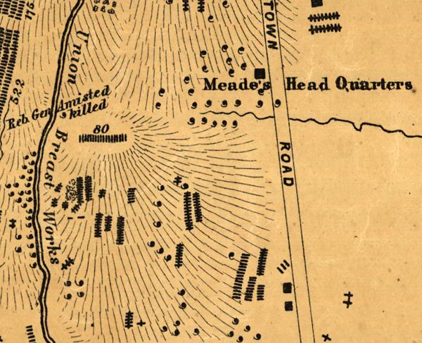
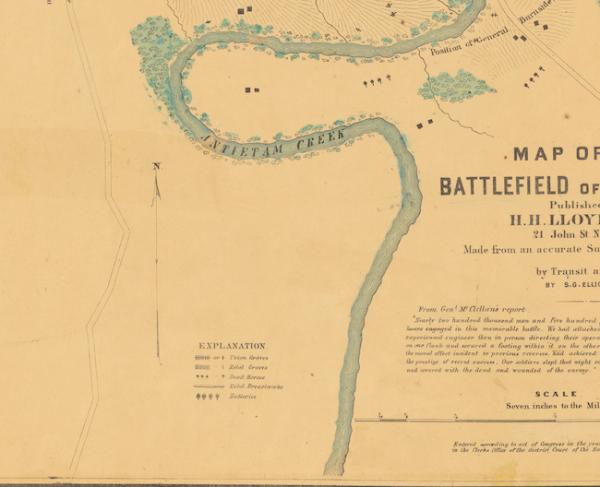
Historical map of the District of Columbia
Topographical map of the original District of Columbia by E.G. Arnold C.E.
Created/Published
New York : G. Woolworth Colton, 1862.
Also shows school districts and householders' names in rural areas.
Relief shown by hachures.
"Entered according to Act of Congress in the Year 1862 by E.G. Arnold ..."
Includes text and population tables.
Reference: LC Civil War maps (2nd ed.) 674, 674.1
LC copy annotated in ink on verso, mounted on cloth backing, and edged with cloth.
Scale [ca. 1:31,680].
Library of Congress Geography and Map Division Washington, D.C. 20540-4650 USA


