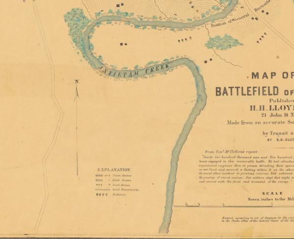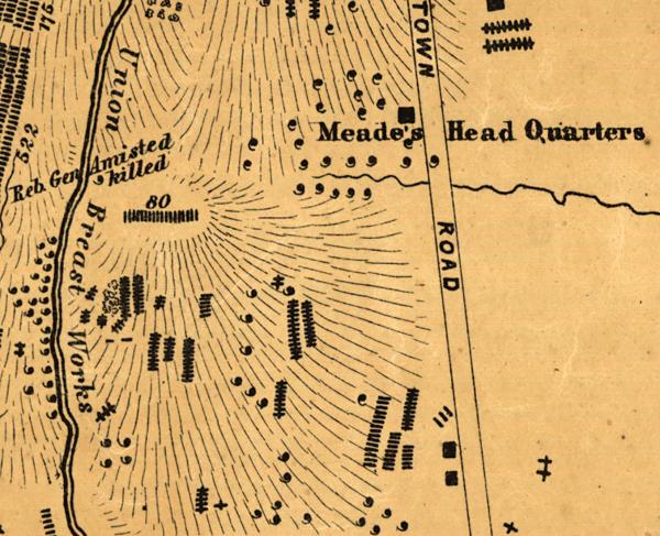
Cropped view of S.G. Elliott’s 1864 Map of the Battle of Gettysburg — an essential resource in understanding what happened and where during the battle, and one of the best resources for preserving the battlefield.
S.G. Elliott’s Maps of Burials
Resource for Historians & Preservationists
Simon Green Elliott (1828-1897) was a California railroad engineer and the creator of two of the most important maps of the Civil War era. In 1864, Elliott traveled to the Antietam and Gettysburg battlefields. Rather than showing the ebb and flow of the battles, Elliott’s maps track the postbattle burials of the dead. These maps — the well-known Gettysburg burial map and newly-discovered Antietam map — are invaluable tools for historians and preservationists alike, as they illustrate the importance of properties around these hallowed battlefields.
Explore the Maps
More on S.G. Elliott & His Maps
- Death & Burial: Guideposts to Gettysburg's Dead »
- Antietam | Bloody Lane, S.G. Elliott Map Section »
- Antietam | Burnside Bridge, S.G. Elliott Map Section »
- Antietam - Cornfield and Epicenter, S.G. Elliott Map Section »
- Antietam | S.G. Elliott Map Section | The Final Assault »
- Antietam - S.G. Elliott Burial Map »
- Antietam - West Woods, S.G. Elliott Map Section »
- Gettysburg - S.G. Elliott Burial Map »
- Nineteenth-Century Geolocation: The Elliott Map of Antietam »
- Antietam - West Woods, S.G. Elliott Map Section »
- S.G. Elliott: A California Railroad Swindler Turned Civil War Cartographer »
- Lessons From the Fallen: Depictions of the Dead of Antietam »
- In the Bloody Cornfield, Pvt. Howard Left Behind a Widow and Three Children »


